Where can you meet us?
Future events where you can meet us
What's happening at our department

Scite_ je super pro vědecké práce i bakalářky a diplomky
Chcete se naučit používat generativní AI pro tvorbu rešerší pro vaše závěrečné práce? Nástroj scite_ vám to umožní. Díky spolupráci s Univerzitní knihovnou TUL mají studentky a studenti FP TUL příležitost rychlého a praktického seznámení s nástrojem na hodinovém kurzu. Ten se uskuteční ve středu 27. 3. 2024 v DigiCompLab. Co se dozvíte? Čtěte dále v článku.

Educators: do you want to further your education? We have courses for you.
With the new year, we have prepared a new offer of cooperation for the professional public - continuing education courses in digital competence. We start in February with topics focused on digital competence in geography classes. Information and course offerings are dedicated to our department's website (Czech only).

A night whole of (not only little) scientists
On Friday, October 6, 2023, the Department of Geoinformatics and Didactics of Informatics was one of the few departments of the FP TUL to participate in the national event Night of Scientists and, for the first time, opened the doors of the Digital Competence Laboratory DigiCompLab in Building G of the University of Liberec campus to the public. Hundreds of visitors could try working with robotic…
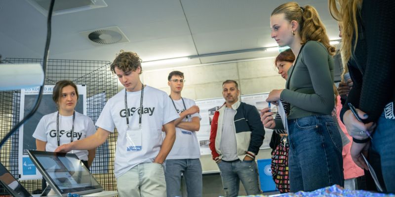
GIS Day 2023: 2 days, 17 schools and 600 visitors
After a break of several years, we are returning to the tradition of the GIS Days event in Liberec, which is popular among primary and secondary schools. This year's event, already the twentieth year, introduced the work with GIS by five partners: the Regional Authority of the Liberec Region, the Liberec City Council, the Fire Rescue Corps of the Czech Republic and the Army of the Czech Republic…
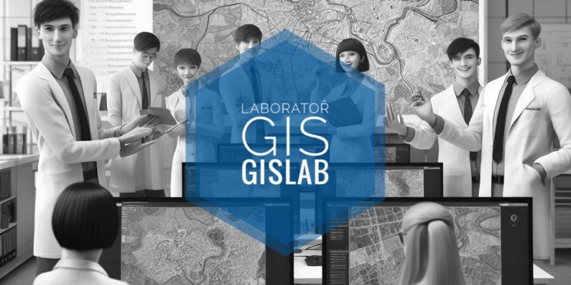
The GIS Lab is a place open to students
You may be asking, why should a GIS Lab look any different than a regular computer lab? And how can students use this lab?
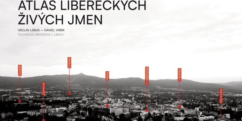
The unique Atlas of Liberec's Living Names is approaching the finals
The crowdsourcing project Living Names, focused on studying unofficial place names (or also folk toponyms) in Liberec and its immediate surroundings, is nearing its final output - a printed Atlas of Liberec's Living Names of impressive dimensions of 42×30 cm. The expected date of publication is in November 2023.
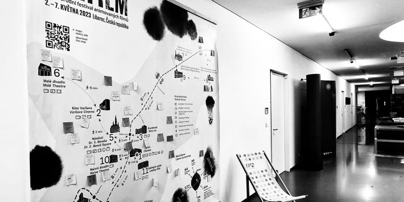
Anifilm festival maps are created at our department
The creation of maps and other cartographic products is now almost unthinkable without the use of geographic information systems and other digital technologies. At the Department of Geoinformatics and Didactics of Informatics, we have been actively involved in practical cartography since 2014, when we published our first printed map to support tourism in the region. Currently, in the hallway of B…
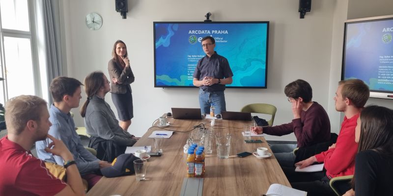
Where do geoinformaticians find their jobs?
Studying at university is sometimes a mass of theory, in which students lose sight of their career after graduation. How to compensate for this? By visiting institutes with professionals who have studied similar programs and are now developing them in projects, business, and corporate management. For the students of our GIS and Remote Sensing courses, we have prepared an excursion to ARCDATA PRAH…


