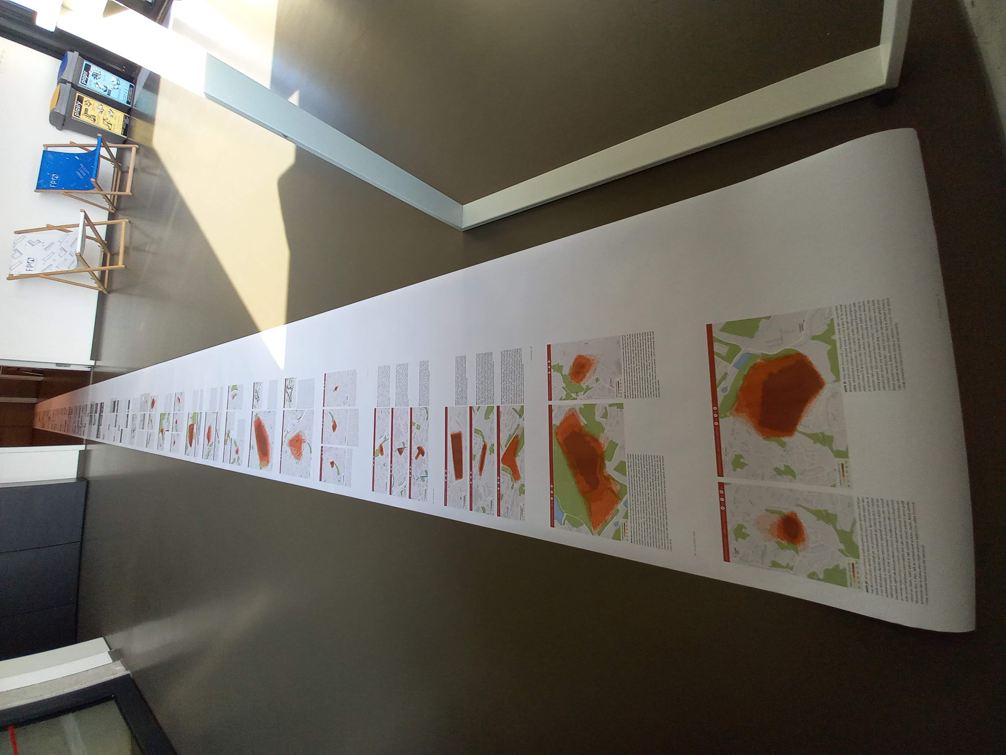
The crowdsourcing project Living Names, focused on studying unofficial place names (or also folk toponyms) in Liberec and its immediate surroundings, is nearing its final output - a printed Atlas of Liberec's Living Names of impressive dimensions of 42×30 cm. The expected date of publication is in November 2023.
Over the course of four years, residents of Liberec and its surroundings have entered more than 3,000 names and many exciting notes into the interactive map. These explain the reasons for the origin of some of the names or give an overview of the history of the place. In addition, the public determined their familiarity with more than two thousand names and drew their idea of the space the name represents for them for a selected eighty names. However, we have yet to interpret this information anywhere. That is why (but not only) the Atlas of Liberec's Living Names is being created.
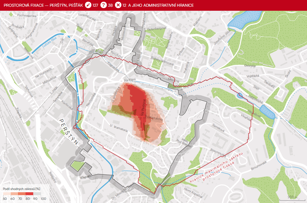
The atlas has three parts. The text part first characterizes the living names and geographical nomenclature in general and, in the study area, explains the methodology of data collection and the creation of the interactive map. This part continues with several chapters of regional texts focusing on the relationship between living names, the environments they describe and the historical context. It concludes with an essential map chapter devoted to spatial fixation.
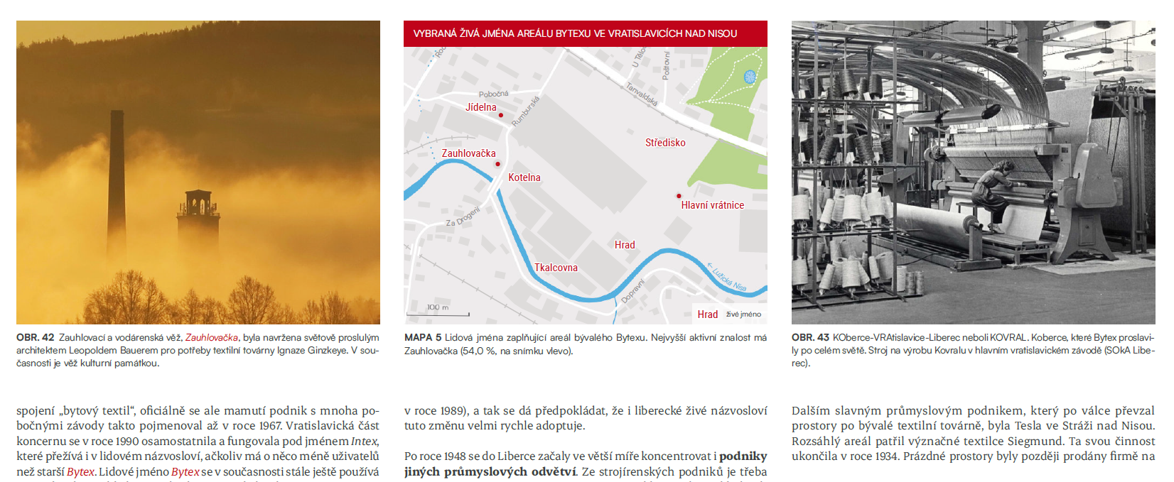
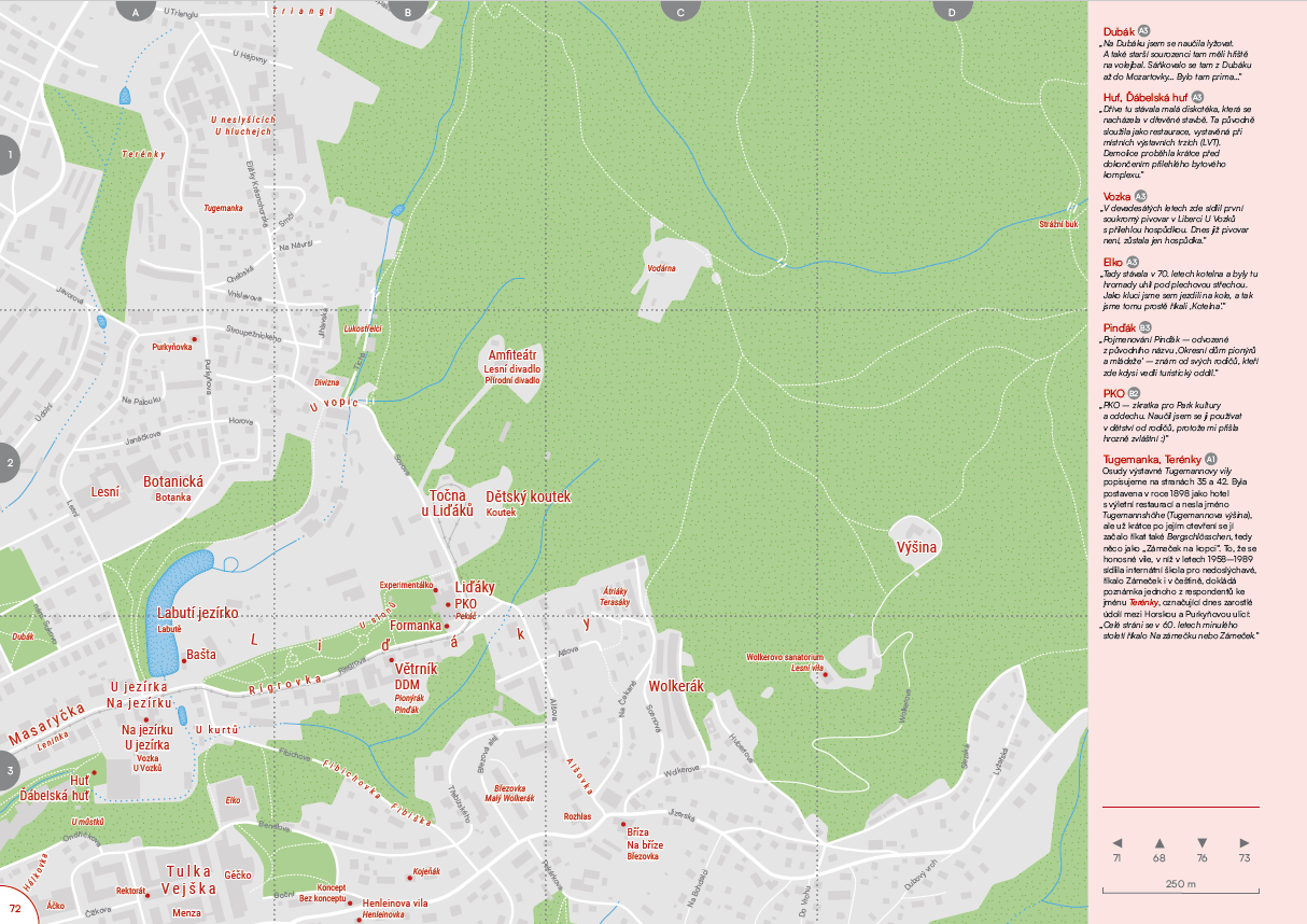
The second, atlas-like part consists of 29 map sheets at scales 1:2500, 1:5000 and 1:20000 covering Liberec and Stráž nad Nisou. The topographic base is compiled from RÚIAN, OpenStreetMap, DIBAVOD and Data50 data. The vagueness and ambiguity of vernacular names in the maps are reflected in the location of the objects they describe. As much as possible, we have tried to place the names in such a way that it is clear what they are associated with, but at the same time, some uncertainty in the exact definition is maintained. As a reference point, we used the location given by the respondents in the Living Names interactive map. Only in the case of spatially smaller objects (e.g., small buildings, restaurants located on the ground floor of a building), or where the map was becoming opaque, did we use a point symbol indicating a specific location.
The third part of the publication is intended for specialists or those more seriously interested in geographical names. It contains mainly an index of living names that appear in the publication, a glossary and a list of recommended literature.
The work on the atlas is slowly finishing. We are currently processing the comments from the reviews, making the final proofreading and will send the data to the printer during October. More information can be found on the project website.