The creation of maps and other cartographic products is now almost unthinkable without the use of geographic information systems and other digital technologies. At the Department of Geoinformatics and Didactics of Informatics, we have been actively involved in practical cartography since 2014, when we published our first printed map to support tourism in the region. Currently, in the hallway of Building G in the KGD area, you can observe one of the department's most recent accomplishments—a large map specifically designed for the Anifilm 2023 visitor centre.
The maps prepared for the public serve as evidence that we are not just theoretical academics but also experts who produce practical outputs. Our collaboration with the municipalities of Liberec and Jablonec nad Nisou has culminated in a series of Direction maps, which were published in different versions tailored to specific groups of tourists and other participants in the tourism industry (published in 2014, 2016, and 2017).
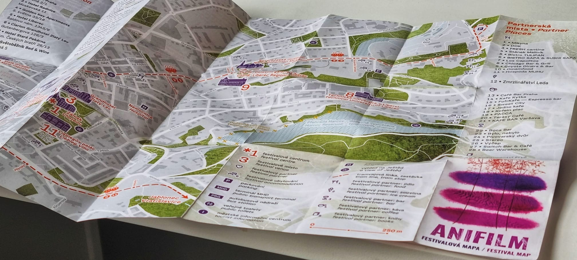
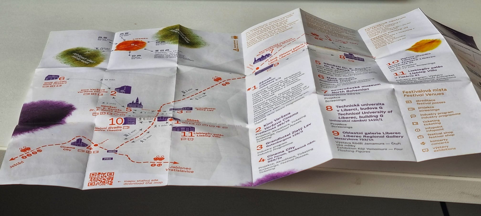
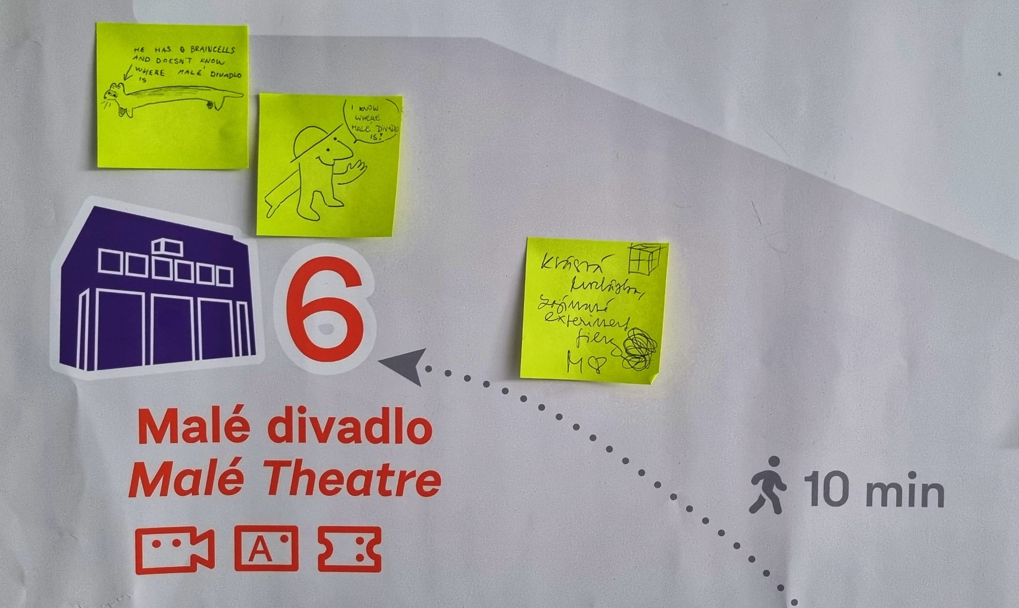
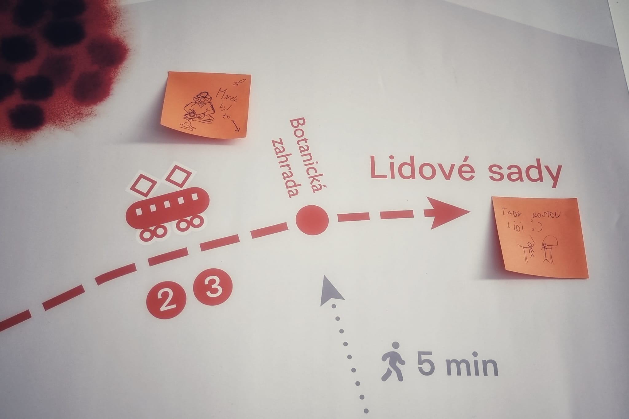
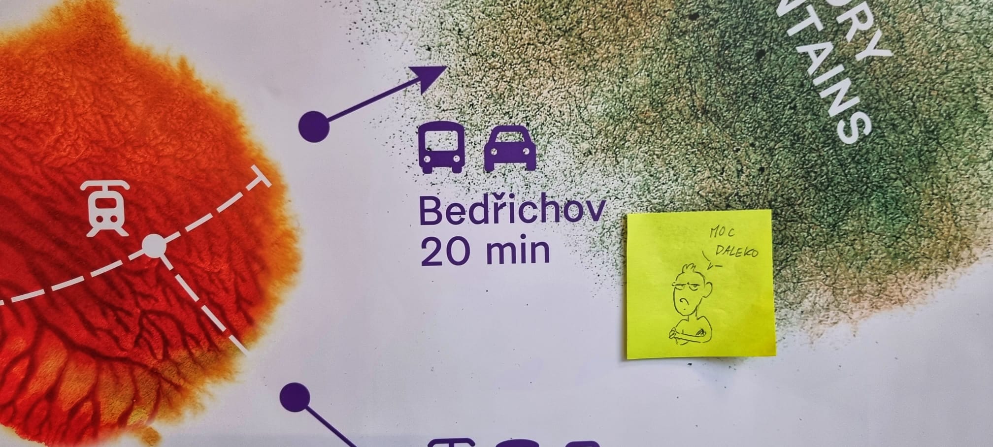
In 2020, the Anifilm International Animation Film Festival relocated from Třeboň to Liberec. Since its first edition in Liberec, we have been working closely with the organizers to create a festival map. The same was true for the most recent edition, which took place in May at the Liberec castle and other venues in the surrounding area. As a new addition, we included a large wall map that served as a message board for festival guests.
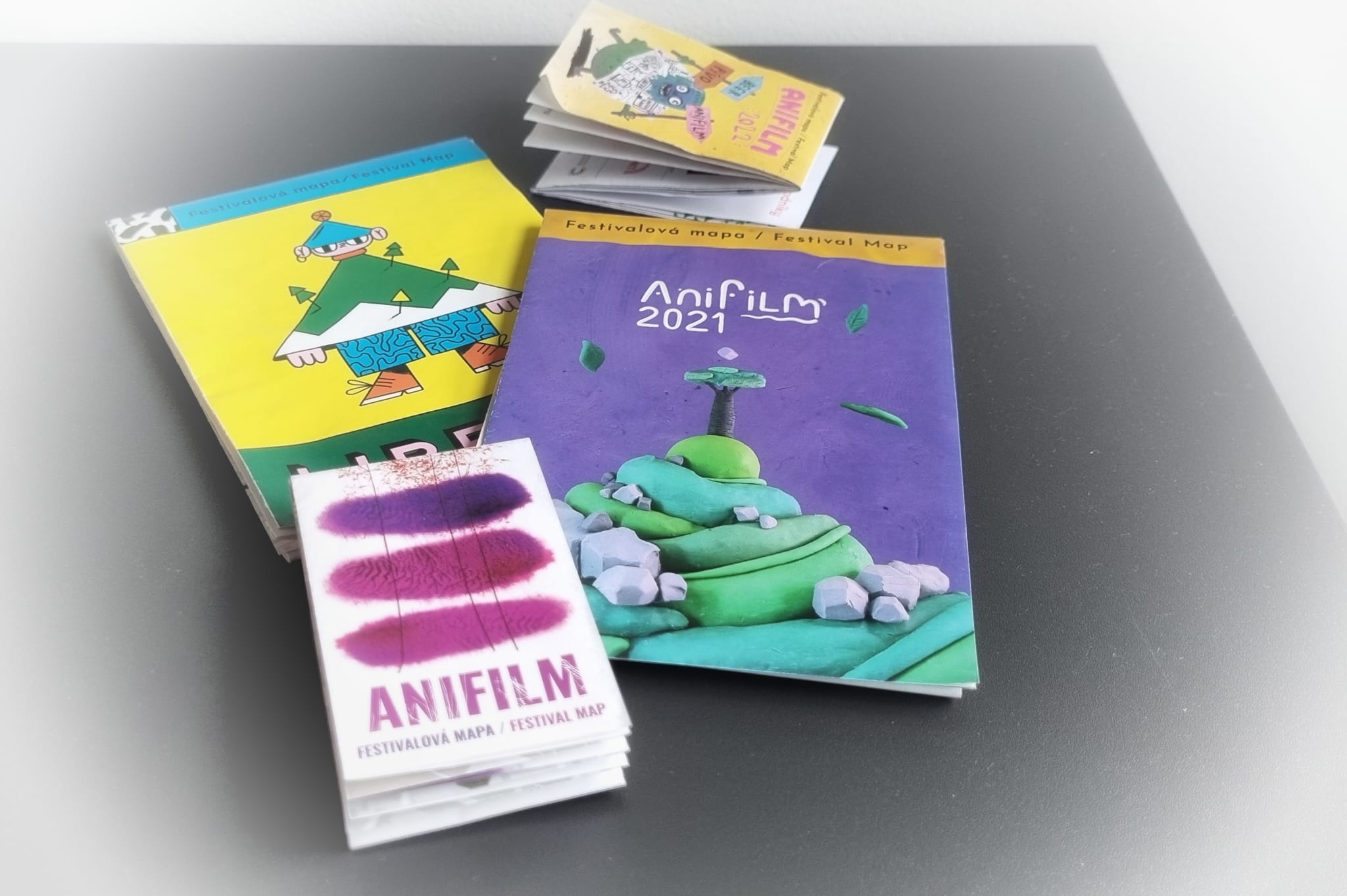
Both the Direction maps and the Anifilm festival maps are no longer available in print. However, anyone from our departmental website can download their digital PDF versions.